*As of Jul 6, 4 PM local time.*
Current Conditions and Heat Stress
Melissa is currently experiencing dangerous heat levels this afternoon. The air temperature stands at 95F, but the combination of heat and moisture pushes the feels-like temperature to 101F. Relative humidity is at 44%, with a dew point of 70F, indicating quite humid air that traps heat against the skin.
Winds are light at 6 mph with gusts up to 10 mph, and the sky remains mostly clear. This heat index value signals a need for caution, as prolonged exposure can lead to heat-related illnesses.
Forecast for Today and Tomorrow
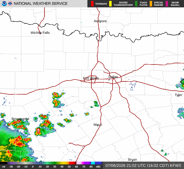
Temperatures will remain elevated through the rest of the day, with a high near 94F and a low near 74F tonight. There is a 25% chance of showers and thunderstorms developing later in the day. The National Weather Service indicates a chance of showers and thunderstorms after 4pm, with heat index values potentially reaching 101. South winds will be around 5 mph.
Tonight, conditions will stay warm with a low around 74, though temperatures may rise to around 76 overnight. A chance of showers and thunderstorms is possible before 7pm, with a 30% chance of precipitation. Winds will shift to east southeast at 0 to 5 mph.
Tomorrow, the heat continues with a high near 94F. The sky will be sunny initially, followed by a chance of showers and thunderstorms after 1pm. Heat index values are expected to hit 101 again.
South southeast winds will be light, between 0 to 5 mph. There is a 30% chance of precipitation, with new rainfall amounts less than a tenth of an inch possible. Temperatures will drop to a low near 75F, potentially rising to 77 overnight.